|
Arriba
| |


 |
Geodetic reference system:
Geodetic referece areas include levelling benchmarks, permanent satellite
observation stations, tide gauges, arker id, access information, coordinates and
system for definition and transformation data of the reference system.
All users of GIS-data need geodetic reference data to be in place. National
Mapping agencies are commonly in charge of establishement and setup of the
geodetic reference systems.
|
 |
Geographical grids:
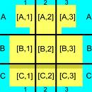
Geographical grids is an agreed, defined and harmonised grid net for standardised location and size of grid cells.
The grid is used to refer
certain environmental and social qualities of the grid cells. Different
resolutions, example of cell sizes could be 10x10 m, 100x100 m, 1x1 km, 16x16
km.
Such data is used for reference of a long range of environmental and sector
information. It allows for spatial analysis in time-series of statistics without
the burden of changes in statistical units as often is the case for
administrative units. In many cases it is possible to handle fairly detailed
information without compromising the individual rights of privacy.
|
 |
Registration/ monitoring sites:
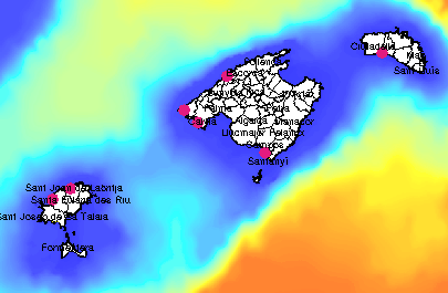
Monitoring sites are locations were monitoring of physical, biological or other
aspects occurs. The monitoring sites may be permanently located at a site or can
be temporal, only used once. Commonly monitoring sites are defined as points,
but may also be large or small plots, transects, grid cells.
Many different conventions, directives and other agreements direct monitoring
and the flow of monitoring information linked to the monitoring sites.
|
 |
Geographical names
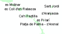
Used for search and overview, location at all layers and as a basis layer on
maps. Important part of reference data. Important for effective operations at
local level.
|
|


